
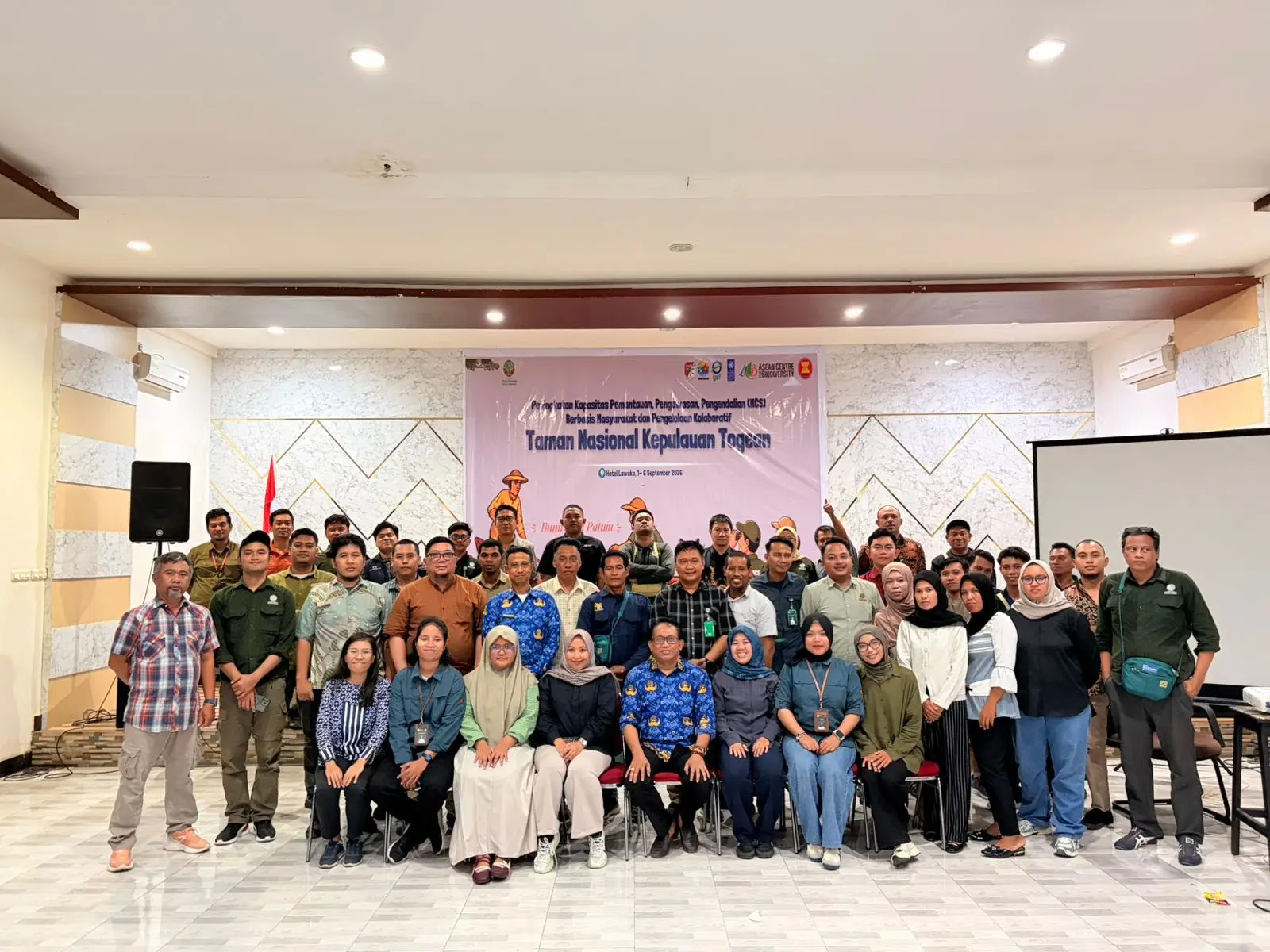
AMPANA, September 7, 2026 – In an effort to mitigate the threats of Illegal, Unreported, and Unregulated (IUU) fishing, destructive fishing, and the impacts of marine tourism dynamics in the Togean Islands National Park (TNP) area, the KTNP Office, in collaboration with the Effectively Managing Networks of Marine Protected Areas in Large Marine Ecosystems in the ASEAN Region (ASEAN ENMAPS) Project, successfully organised the Capacity Building Workshop on Monitoring, Control, and Surveillance (MCS) and Collaborative Management of the Togean National Park. About 60 representatives from the communities, law enforcement, and local government participated in the activity.
The activity was held on 1–6 September 2026, in Ampana and Papan Island, Tojo Una-Una Regency and aimed to empower local community groups (Pokmaswas/Conservation Groups). It also aimed to strengthen the technical capacity of KTNP Office staff in collaborative and inclusive area management and oversight.
The Regional Secretary of Tojo Una-Una Regency, Alfian Matajeng, officially opened the series of events and emphasised that conservation is the cornerstone of sustainable development, directly linked to the livelihoods of local residents and the region’s key economic sectors. The Tojo Una-Una Regency Government is promoting multi-stakeholder, cross-sectoral collaboration under the spirit of “Sivia Patuju” (one goal) to ensure the sustainability of the Togean National Park.
Participatory monitoring using the sMART mobile app
One of the main focuses of this activity is the introduction and simulation of the Spatial Monitoring and Reporting Tool (SMART) Mobile app to support the Independent MCS system. Through this open-source application, community groups and field officers can record structured monitoring data—such as patrol routes (GPS tracks), waypoints, and real-time documentation of fishing activities, wildlife sightings, and environmental threats.
Through a Cooperation Agreement (PKS) on traditional use involving 31 community groups (389 members) in an area spanning 19,087.05 hectares, MCS Mandiri positions local communities as the “eyes and ears” of the area’s managers at the field level.
Underwater technical skills and marine safety
In addition to app-based monitoring, participants also received training in marine safety (Sea Survival), Basic Life Support (BLS), Cardiopulmonary Resuscitation (CPR), and first aid techniques for emergency situations.
In the field of underwater ecosystem monitoring, this training aligned the technical capabilities of staff and participants through practical coral reef monitoring exercises using the Line Intercept Transect (LIT) and Point Intercept Transect (PIT) methods. The open-water exercises conducted on Papan Island and in Uebone Village successfully tested participants’ skills in assessing coral cover.
Mainstreaming social safeguards and gender inclusion
In response to the findings of the Strategic Environmental and Social Assessment for the ASEAN ENMAPS project, this training integrates the principles of the Environmental and Social Management Framework. This step is crucial to prevent conflicts over access to waters (bureaucratic displacement) for traditional fisherfolk, to integrate local wisdom and customary law, and to promote gender mainstreaming by mapping the areas used by coastal women (intertidal gleaning zones).
“This activity serves as a vital foundation for establishing an inclusive, gender-responsive, and sustainable participatory monitoring mechanism to preserve the integrity of the coastal and marine ecosystems of the Togean Islands,” said Askhari Dg. Masikki, Head of the Togean Islands National Park Office.
